Monitoring Earth from space is very effective way to better understand vital environmental issues such as climate change. Information from Earth observation satellites provides important information to better protect the environment and to manage natural resources. Come and take a look at the Mekong from space!
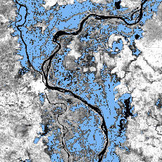
Open
water flooded areas (light blue colour) extracted from
RADARSAT-1 ScanSAR image, the floodplains of Mekong,
Tonle Sap and Bassac Rivers, Cambodia.
The
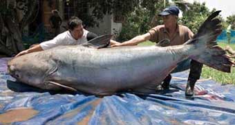
Mekong consists of river, lakes and estuary ecosystems that support a rich and diverse fishery