AZERBAIJAN
Land
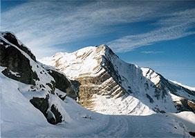
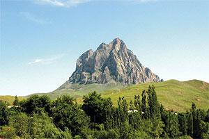
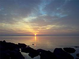
Azerbaijan covers an area of about 86,600 sq km (about 33,400 sq mi). The borders of Azerbaijan generally correspond to natural geographic features. The western coast of the Caspian Sea forms the country’s entire eastern border, which extends about 800 km (about 500 mi). The main stretch of the Caucasus Mountains, known as the Greater Caucasus, forms part of Azerbaijan’s northern border with Russia and contains the country’s highest peak, Mount Bazar Dyuzi (4,480 m/14,698 ft). The Greater Caucasus extend into northeastern Azerbaijan and run southeast as far as the Abseron Peninsula, which juts into the Caspian Sea. In western Azerbaijan, the Lesser Caucasus mountains attain heights of about 3,500 m (about 11,500 ft) and form part of the border with Armenia. The Talish Mountains border Azerbaijan in the extreme southeast.
Water Resources
RiversAzerbaijan has four major river basins, two of which are international:
-
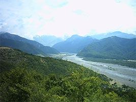
The basin of the Kura and Araks rivers. It is by far the largest basin in the country. These two rivers, which form continuous lowland through Central Azerbaijan, both originate in mountains of northeastern Turkey. The Kura flows into northwestern Azerbaijan from neighboring Georgia and then follows a southeasterly course to the Caspian Sea. The Aras forms part of Azerbaijan’s southern border with Iran and eventually turns northeast to enter south central Azerbaijan; it then joins with the Kura and also empties into the Caspian.
-
The Samur River basin. It is located in the northeast of the country. The Samur River rises in the Russian Federation and then forms the border between the Russian Federation and Azerbaijan. Before flowing into the Caspian Sea, the river divides into several branches.
-
The coastal river basins in the northeast between the Samur and Kura river basins.
-
The coastal river basins in the Lankaran region in the southeast, south of the Kura River basin.
Groundwater resources
The internal renewable groundwater resources are estimated at 6.51 km3/year, of which 4.35 km3/year are common to surface water. The groundwater resources are famed for their quality as mineral drinking water and are also used for medical purposes. The Nakhchivan Autonomous Republic is especially rich in mineral groundwater. The total number of artesian wells is estimated at about 7,000 with a total discharge of about 2.1 million m3/year.
Lakes and dams
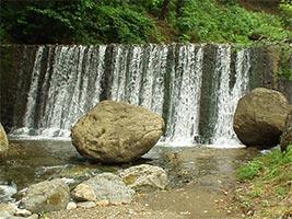
The total reservoir capacity of large dams (larger than 100 million m3 each) is estimated at 21.35 km3. The four largest reservoirs are the Minghachevir and Shamkir on the Kura River, the Nakhchivan on the Araks River, and the Sarsangh on the Terter River. The total capacity of smaller reservoirs for irrigation purposes is estimated at 100 million m3.
Plants and Animals
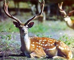
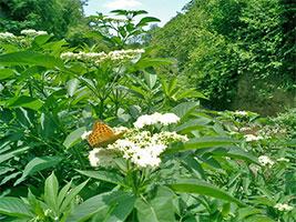
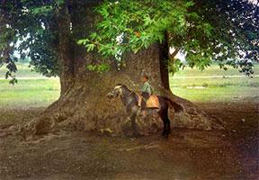
Forests of beech, oak, and pine cover 11 percent of the country, with most tree cover on the mountain slopes and in the southeastern Lankaran Lowland. The subalpine forests support a number of mammal species, including bear, deer, lynx, and wild boar. Leopards also inhabit the forests but are rare. Reptiles, such as lizards and poisonous snakes, thrive in the arid and semiarid lowlands, which constitute the majority of the country’s territory. Gazelles, jackals, and hyenas populate the lowlands as well. The Caspian Sea coast provides a mild winter home to populations of pelicans, herons, flamingos, swans, and other migratory birds.
Natural Resources
Azerbaijan contains many natural resources, the most important being crude oil. Azerbaijan’s oil reserves are located offshore, beneath the Caspian Sea, with most developed oil fields near the Abseron Peninsula. Mineral resources include iron ore, aluminum, copper, lead, zinc, limestone, and salt.
© 2009 CaspEcoProject Management and Coordination Unit
7-th floor, Kazhydromet Building, Orynbor st., Astana, 010000, Republic of Kazakhstan,
Tel. No.: (+7 7172) 798317; 798318; 798320, 798307| E-Mail: MSGP.MEG@undp.org