Designing marine reserves to reconcile ecosystem service trade-offs
September 24 2016
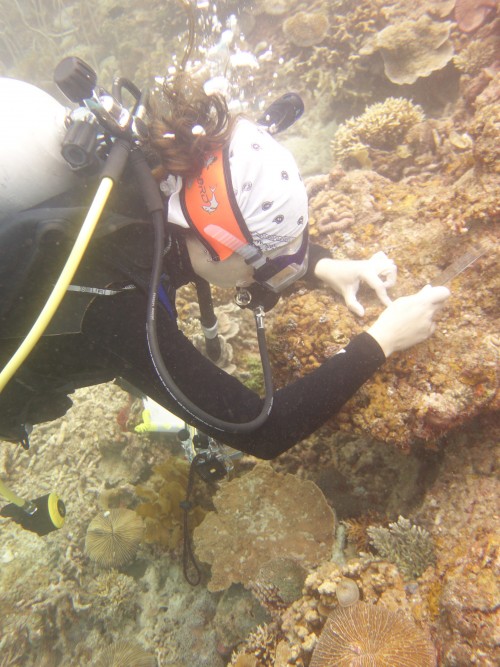
Measuring turf. (Photo: M Quibilan)
The expansion of FISH-BE is well underway with consideration being given to incorporating the health of mangrove, seagrass, and coral reef habitats, tourism and coastal land use changes into the model, in a spatially explicit form.
Over the past six months, the team at UPMSI led by Prof Cesar Villanoy, has focused on testing, validating and refining the FISH-BE model.
Since the team has finished most of the programming required to develop the model, tests were undertaken to see how the model behaves by finding the set of parameters (e.g. growth rate, fish mortality) where fish biomass collapse and recovery could be observed.
The team also checked to see if observations of spatial changes given different levels of fishing activity and protection could be made, which is the main objective of the model. From this, the team can then use actual values for the parameters, in order to observe realistic model outputs.
Based on the fishing maps and expert knowledge — with a total of 500 fishers distributed across different docking points from the fishing maps — the team assumed that fishers prefer to explore the area closest to where they dock their boat.
A graphical user interface is also being developed for FISH-BE.