|
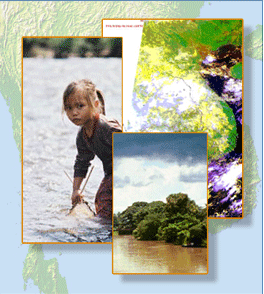
Weather satellites provide an almost continuous stream of imagery for monitoring cloud movement moisture, precipitation and other important weather parameters.
Meteorologists use the frequent observations routinely since the early 1960s to predict the weather, to monitor droughts or floods and to track the movement for tropical storms.
The Mekong Basin is served by a number of weather satellites operated by Japan, the United States, China, India and Russia. They form the backbone of a global weather monitoring and warning system.
|