|
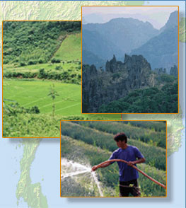
Satellite images are an efficient and inexpensive tool to map and monitor natural vegetation at various levels of detail. For example, infrared images are particularly adapt at portraying vegetation vigor and have been utilized for general surveys of forest cover in the Mekong basin.
The comparison of modern satellite maps with older vegetation maps often yields astounding insights into natural or man-made changes that have occurred within the basin over the past decades.
Low-resolution satellite imagery, such as MODIS data, is used routinely by scientists to detect seasonal and annual changes of the vegetation cover. These vegetation index maps represent an up-to-date source of information to assess environmental conditions for the entire Mekong basin.
|
Click on the list of satellites/sensors (lower left-hand menu) to discover how they can be used for this application
Click here to return to the Matrix Home
|
|